Wide Camera & Platform Support
Survae offers open support for aerial, ground and submarine video and imagery. We are agnostic about the source as long as it’s data-enabled. We can work with all kinds of devices including UAVs, smartphones, action, surveillance, underwater and helicopter or plane-mounted cameras, plus satellite imagery. Currently supported devices include:
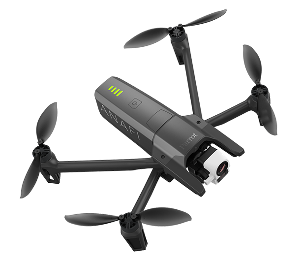
Parrot Drones
Survae is fully compatible with the ANAFI USA, the ANAFI, and ANAFI Thermal. The ANAFI packages both the flight data and the video or still images into one file. Once you bring that file into Survae, you’ll see the flight mapped. Visual and thermal video and still imagery are supported. Simply drag your video or still image file from the drone’s SD card into your Survae account and you’re good to go. Learn more.
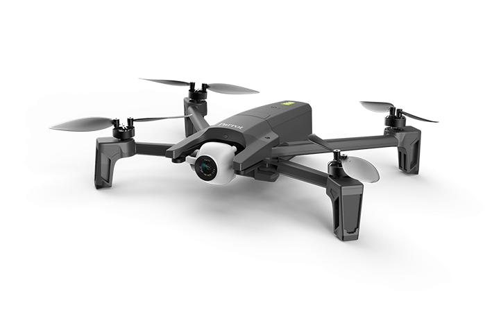
ANAFI
ANAFI Thermal
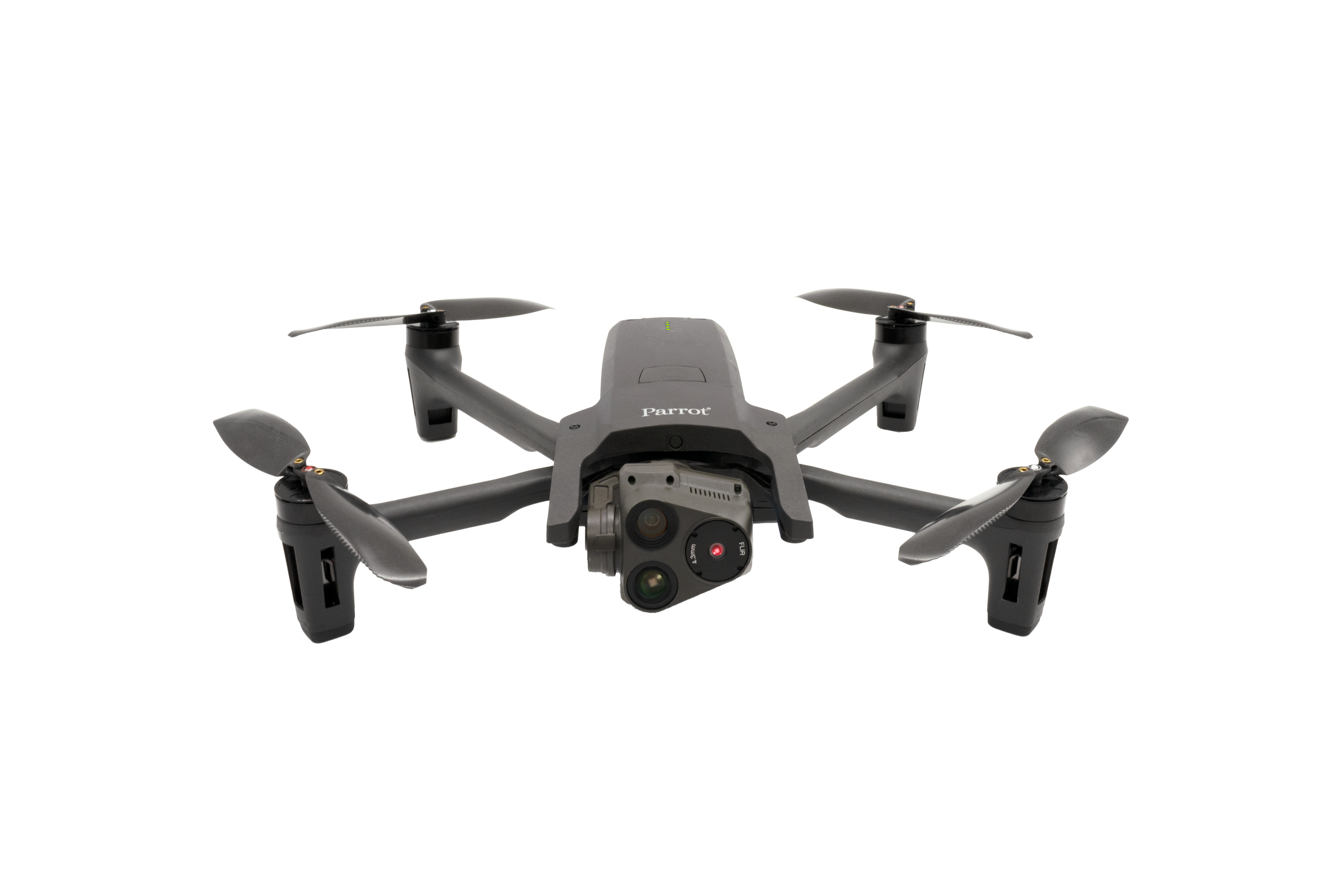
ANAFI USA
DJI Drones
Video and still imagery is supported for DJI’s full line of UAVs, including those equipped with thermal cameras. Video and location data is saved into two different files, both of which are required to fully map a video in Survae. Video is saved to the UAV’s SD card. Data is saved within the DJI Go 4 or Litchi mobile applications, downloaded as .CSV files from the Airdata service, or for an easy but more basic option, saved to the UAV’s SD card as .SRT video caption files. Simply drag and drop both into your account and we automatically match and map everything. Any uploaded images containing location metadata, will be also mapped.
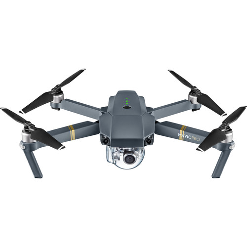
Mavic

Phantom
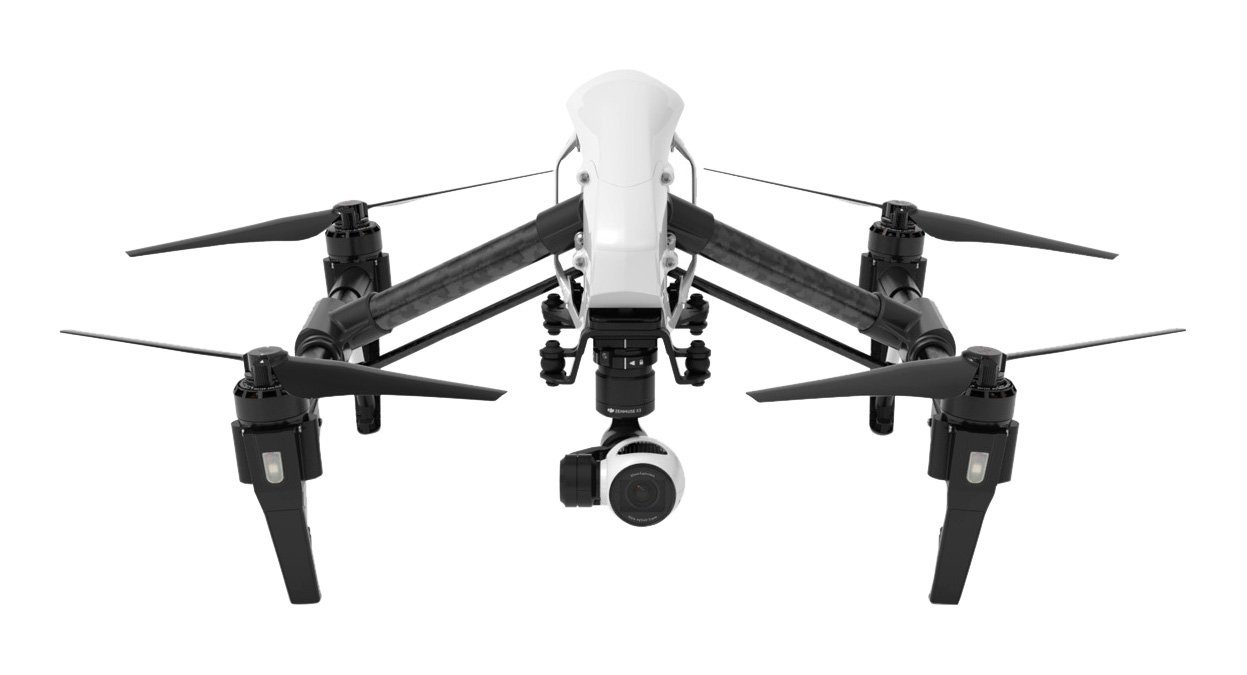
Inspire
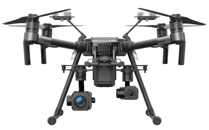
Matrice
Yuneec Drones
Survae provides support for video and still images recorded with the Yuneec H520 six-rotor platform. All of the flight metadata is contained within the video and image files themselves. Upload your video or still image file from the drone’s SD card into your Survae account to see them mapped.
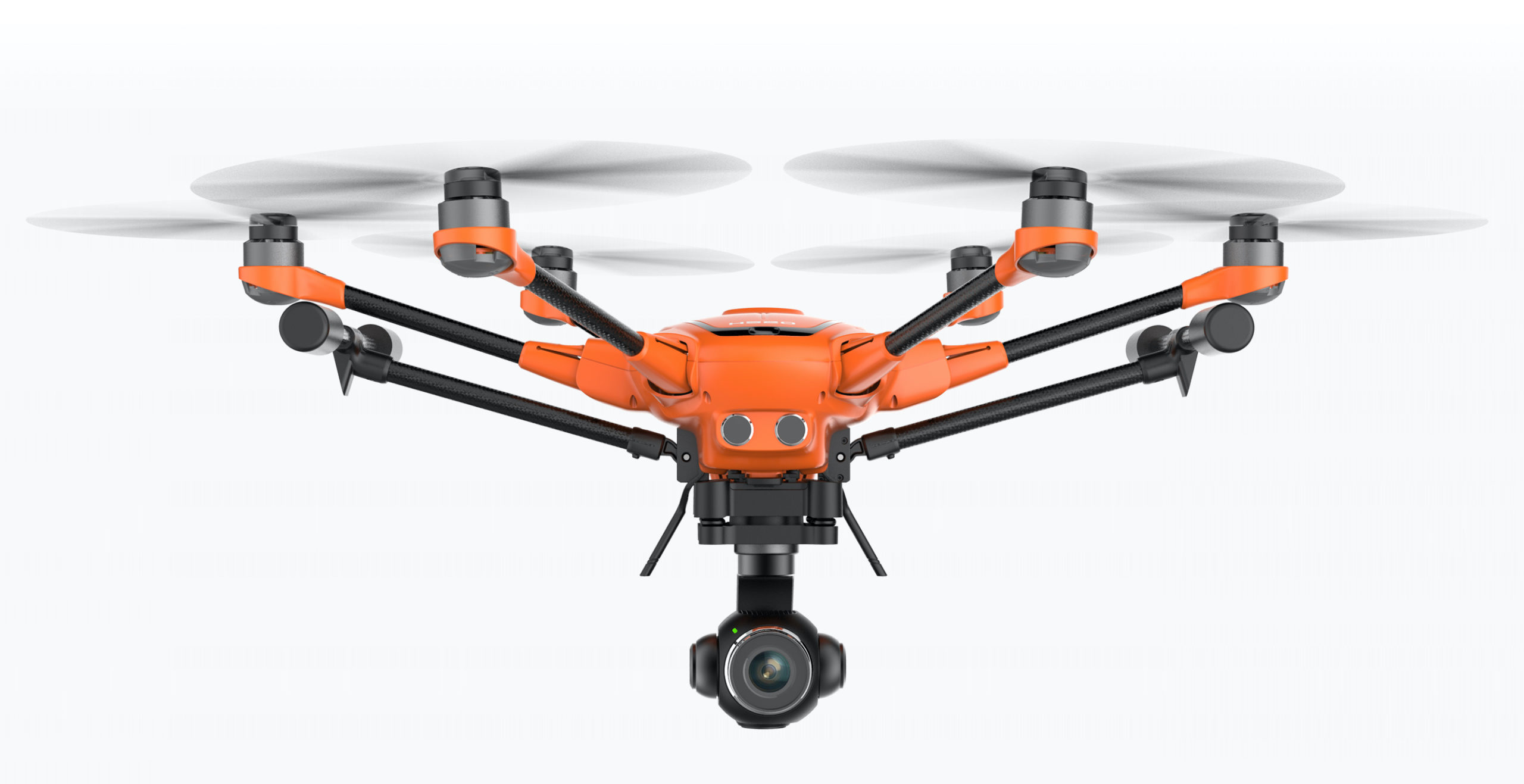
Yuneec H520
MISB-Compliant Full Motion Video
Survae offers support for live and recorded full motion video from manned and unmanned platforms for government and commercial use cases. We bring geospatial and temporal management tools to huge data libraries, provide critical situational awareness, a unified view of places and events from different perspectives, and integrate geolocated video with other sensors and data.
GoPro Cameras
The GoPro line of cameras (from the Hero 5 through 9) offer great video quality, a built in GPS for location, and motion sensors, but do not include a compass for magnetic heading. Data is embedded right into the video files, which are saved onto the SD card. Drag and drop any video or image into your account and it will be fully mapped. It’s that simple.
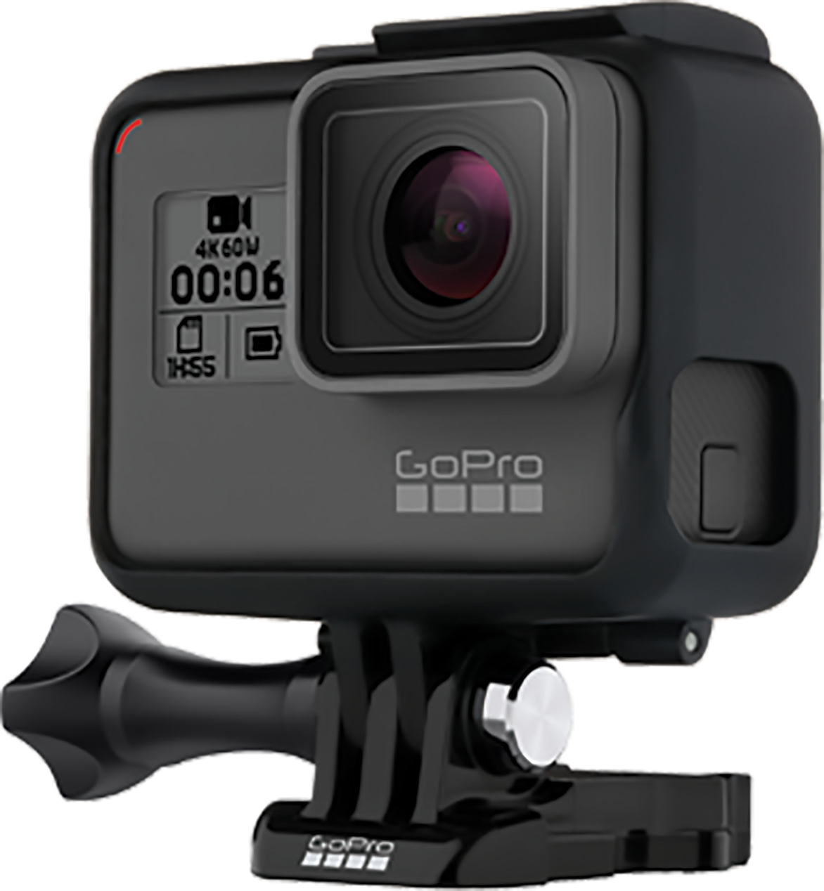
Hero 5, 6, 7, 8 and 9
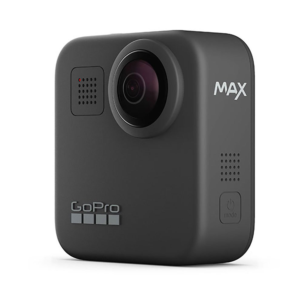
MAX
360 Images Only
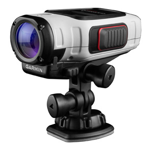
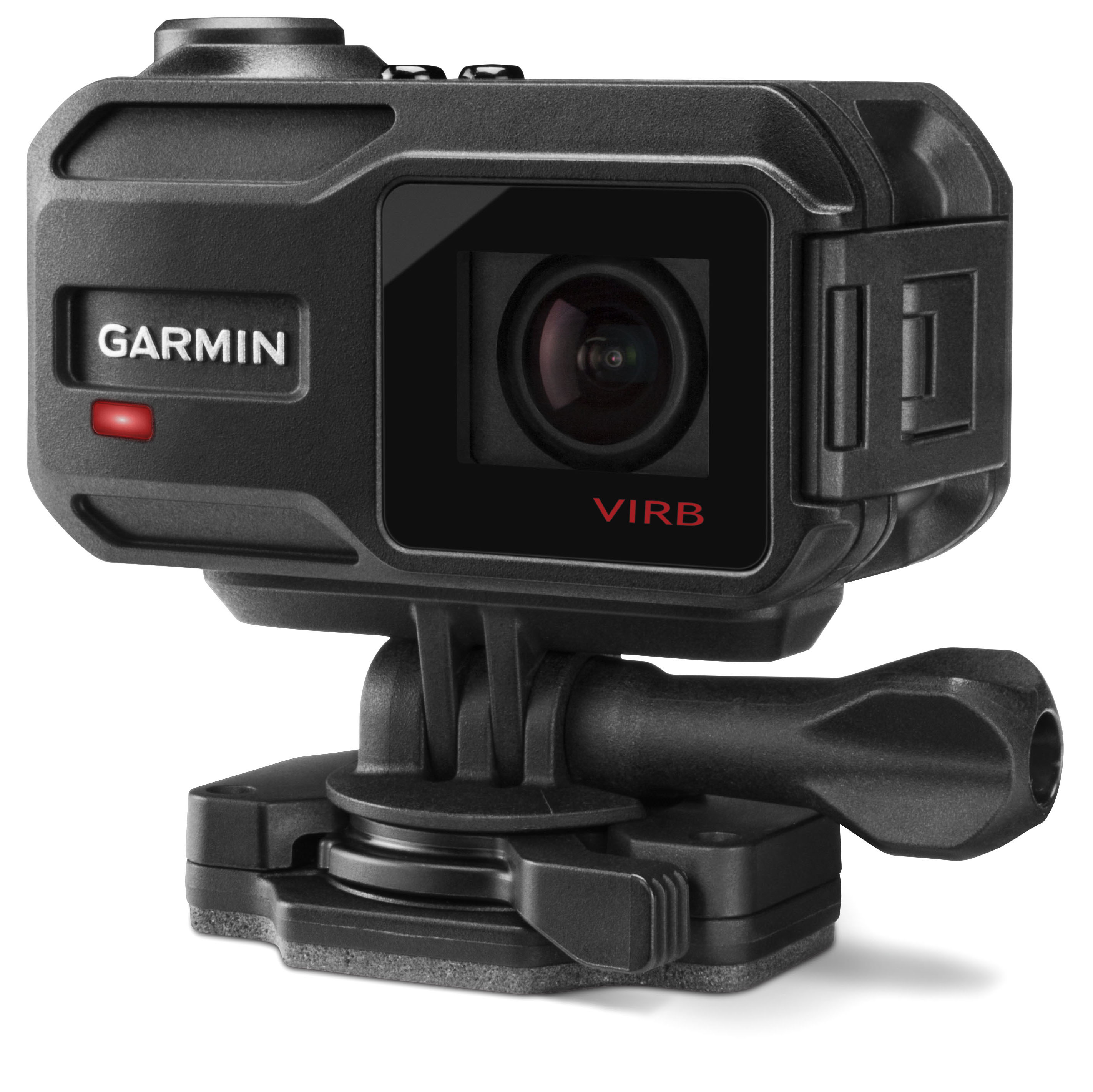
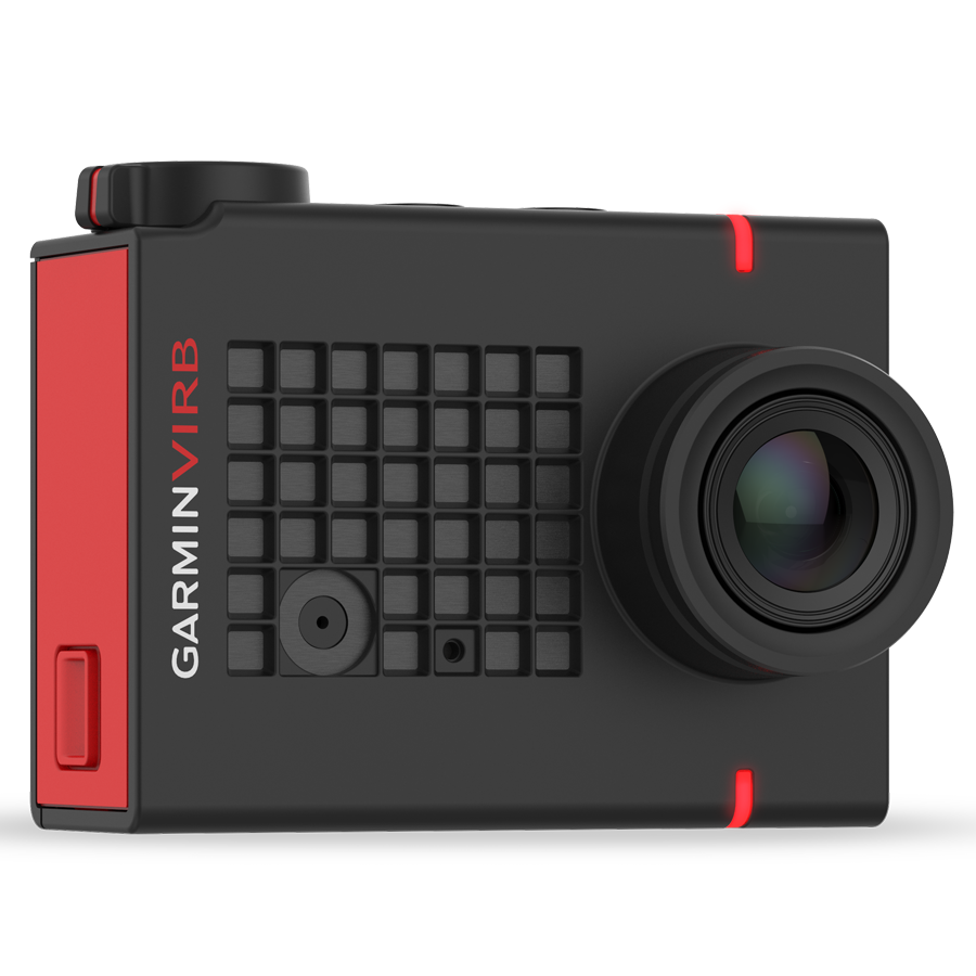
Garmin Cameras
The Garmin VIRB cameras are available in wide angle field of view and 360° models and offer a built in GPS for location, motion sensors, and a compass for magnetic heading. Video and .FIT data files are saved onto the same SD card. Drag and drop both to your account for fully mapped video. Still images are also supported.
Virb Elite
Virb XE
Virb Ultra 30
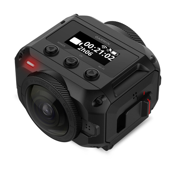
Virb 360
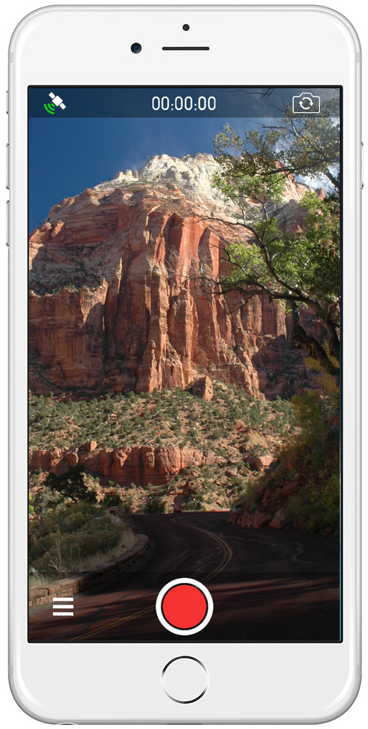
Mobile Phones and GPS-Enabled Cameras
Android and Apple mobile device and GPS-enabled cameras can capture images that include location and direction data. Drag and drop any image that includes location metadata to your account and it will be mapped. Android and iOS mobile applications are coming.
iPhone 6+
Android
GPS-Enabled Cameras
Custom Applications
Contact us about adding support for your camera, sensor, or platform. We work with data and imagery from the air, land, and sea.