
See your world with intelligent video & imagery.
Video & Imagery + Maps
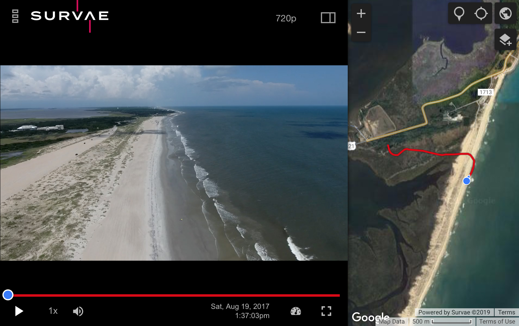
Find and view live and recorded visual, thermal, and 360° video and imagery with the context of your own interactive Esri or Google maps. Mapped video routes and image markers display where content was captured. Hover to preview places or events and click to go there.
Connect Your Data
Make sense of the relationships between video, imagery and sensor data, with our comprehensive map and time-based platform. Visualize your data with time and location context, using map layers and timeline graphs.
An Open Platform
DJI and Parrot UAVs, GoPro and Garmin action cameras, and MISB-compliant thermal and visual spectrum cameras are supported. Custom support for aerial, ground, and marine-based cameras and platforms is available.
Manage Large Volumes of Video, Imagery, and Data with Ease
See the Complete Picture from Land, Air, and Sea
Search for the Real World
Survae provides a unified way to manage, find and visualize massive sets of video, imagery and data, using maps and timelines as the basis for organization. Use powerful relational, geospatial, temporal, and spatio-hierarchical search to find events, places, and objects from multiple viewpoints.
Share with Context
Easily share your assets via links or embed our fully interactive map-enabled video player within any website.
Cloud and Local Versions
Survae is available in the cloud, as local online and offline private server and laptop installations, or as a custom integration. NIAP-certified security, protecting data in-transit and at-rest, is available for certain markets.
world.survae.com
Real-World Solutions
Infrastructure
Energy/utilities, Railroads, Roads and Bridges
Government and NGOs
Land, water and wildlife conservation, humanitarian missions
Public Safety
Fire, Police, Search and Rescue, Post-Disaster Response